
“Challenges of mapping in poorly-exposed volcanic areas”
 Detailed/Final Fieldtrip Program
– First Circular –
Workshop Concept
Geologists in many countries all around the world share the common problem of performing fieldwork and mapping in areas with dense vegetation/soil cover and, implicitly, poor exposure of the bedrocks. Central and Eastern Europe is one of such regions where most volcanic areas coincide with heavily forested mountains. However, geological maps still have to be realized in such conditions.
The main target of our Workshop is to cope with the challenge of mapping in poorly-exposed volcanic areas, to discuss, illustrate and make progress in mapping approaches and methodology. Previous Volcano Geology workshops (i.e. Madeira and Sicily/Aeolian Islands) were held in active/recent volcanic areas, where eruptive products are largely exposed and available to direct visual observation and sampling. The participants learned how the lithostratigraphic concept and methodology can successfully be applied in mapping in those areas. Even so, some aspects of that approach (the “synthemic/UBU approach”), essentially based on identification, ranking, and mapping of discontinuities in the volcanic successions, have been questioned by a few participants. If there is a whole spectrum of exposure conditions – i.e., from almost continuous exposure to almost no exposure – the field conditions met in Central/Eastern European countries – are closer to the no-exposure end-member of that spectrum. It seems inevitable that in such circumstances the lithostratigraphic approach and methodology – successful in well-exposed areas – has to be adapted and/or completed with new perspectives and methodologies. One significant issue, for instance, is the fact that in poorly-exposed areas discontinuities between synthemic units identified in outcrops are absent or, at most, accidental, so their correlation and ranking extremely difficult, hence they cannot be used as objective features to systematize and order lithostratigraphic entities such as synthems, subsynthems, etc. Rather, discontinuities will eventually emerge at the end of the mapping process, as interpreted features, while processing all field work information.
Too, our workshop intends to shift the volcano mapping topic’s target area from active/recent volcanoes to older extinct volcanoes, e.g., of Miocene to Pleistocene age in our case, which still preserve meaningful topographic features to be taken into account while mapping and interpreting fieldwork information.
An alternative or complementary approach in defining map units in volcanic areas is that emerging from the volcanic facies concept which helps systematizing volcanological information in function of dispersal areas of volcanic products with respect to their sources. Defining the spatial position of a certain formation of volcanic rocks or of a volcanic sequence with respect to their source area(s) is a crucial step not only in order to understand volcanic structures/edifices and evolution, but is also extremely useful in mineral exploration and other practical activities.
In the light of the discussion sketched above, a number of questions arise to be addressed during our workshop, such as (but not restricted to):
- whether, to what extent and how the lithostratigraphic approach is applicable in poorly-exposed and/or extinct/old volcanic areas;
- which kind of map units – petrographic, lithological, facies, etc. – should be defined and used during different stages of mapping activities;
- what is the significance of “formation”, as the basic lithostratigraphic unit, and how can it be objectively defined, recognized and mapped in poorly-exposed volcanic areas (for instance, may one define a “formation” based on occurrence in one single outcrop?)
- whether and how the volcanic facies concept can be involved and integrated with the lithostratigraphic approach in mapping activities in poorly-exposed areas;
- how and to what extent morphological features can be used in defining and separating map units in old volcanic areas still preserving such features;
- whether and how geophysical information can be used and integrated into the definition of map units in poorly-exposed volcanic areas.
Workshop format
Following the Sicily/Aeolian Islands 3rd Volcano Geology Workshop as a successful model, we propose our workshop to be a fieldtrip-based one. It will include the following activities:
– one day of presentations consisting of:
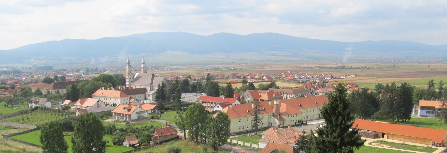
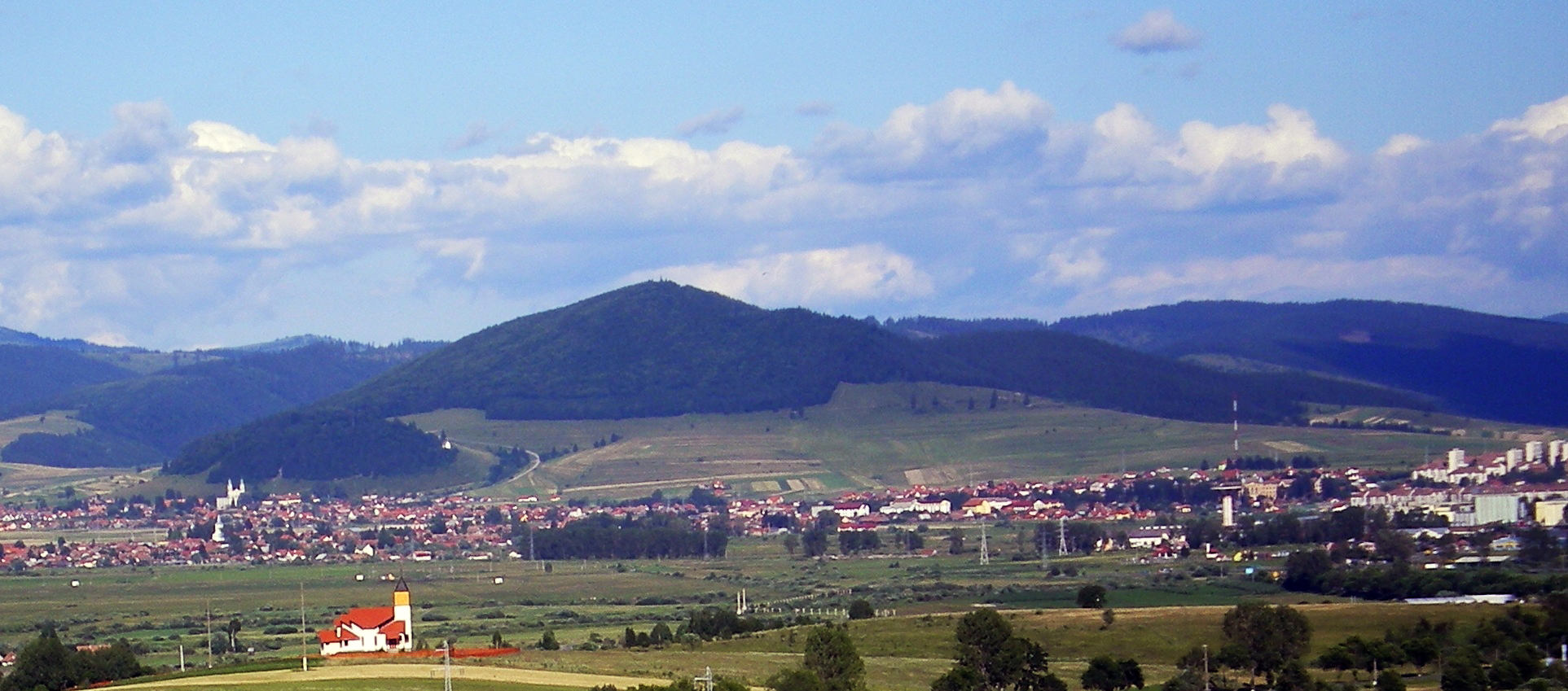
– presentation of the geology, volcanology, structure and evolution of the Neogene-Quaternary Călimani-Gurghiu-Harghita volcanic range, the actual target area of the workshop, by local volcanologists;
– invited/offered talks related to the main topic of the workshop; we expect and strongly encourage colleagues from all around the world having expertise in mapping in poorly-exposed volcanic areas, to offer a talk voluntarily and share their own experience in that matter;
– poster session with presentations related to the workshop’s main topic, but other volcano geology-related contributions are also welcome;
– 5 days of field-trip activities, dedicated to particular segments of the Neogene Călimani-Gurghiu-Harghita volcanic range, from south to north, from younger to older: South Harghita, North Harghita, Gurghiu and Călimani ;
– the workshop will include:
– morning to early afternoon visits of outcrops,
– late-afternoon early-evening discussions on the topics revealed by the field-trip observations of the day, and
– a final discussion related to the IAVCEI Volcano Geology Commission issues and the Commission’s future activities.
Organisers & Sponsorship
The Workshop is organized under the auspices of the IAVCEI Commission on Volcano Geology.
Other IAVCEI Commissions – Commission of Monogenetic Volcanism and Commission on Volcano Heritage – are also supporting the event.
The local host organizing institution is the “Sabba S. Ştefanescu” Institute of Geodynamics, Romanian Academy, Bucharest.


![]()
Participants
For logistical reasons, the number of participants to this workshop is limited to 50 (without the Organizers). Therefore, please notice your intention to participate as early as possible. Early Registration deadline is (May 31, 2017). If the number of 50 participants is not fulfilled at that time, further registration will be accepted later at higher registration fees. The late Registration deadline is (August 31, 2017).
According to the IAVCEI rules, only registered IAVCEI members with currently paid member fees are accepted to the Workshop.
Accompanying person’s participation is possible, but logistic arrangements for them (transport, accommodation, meals) are not assured by the Organizers.
Registration
Payment of the registration fee by bank transfer is preferred. On-site payment in cash upon arrival will be, however, accepted from people whose attendance is firmly confirmed and documented by flight-ticket payment. In these cases registration without bank-transfer payment is accepted, and registration priority considered by the Organizers.
Because the number of participants is limited to 50, notice on intention to attend is welcome from you as early as possible to be sent by e-mail to the Organizers contact addresses. We will take into account the order of arrival of those expressions of interest.
The registration fee will include: transfer from the arrival airports to the first-night accommodation place, dayly transport during the fieldtrip, accommodation for 6 nights in double or (very limited) single rooms, including breakfast, box-lunches for each fieldtrip day and dinner (excepting the 7th, departure day), including the farewell party, and transfer to the departure airports, as well as Workshop materials (fieldguide and related items). Accommodation costs before October 8th and after October 13th are not included in the workshop Registration fee.
The amount of the registration fee is subject of early vs. late registration and double/single hotel room occuppancy:
The early Registration deadline is (May 31, 2017)
- EUR 380 for double room occuppancy
- EUR 520 for single room occuppancy
The late Registration deadline is (August 31, 2017).
- EUR 480 for double room occuppancy
- EUR 620 for single room occuppancy.
These amounts might even be lowered, but not guaranted, in the case sponsorship applications – other than at IAVCEI and IUGG – will be successful. Discount grants are planned to be offered for a few young researchers and researchers belonging from developing countries. Please note that single occuppancy will be guaranted for only a limited number of participants (most probably less than required), so as early as possible registration will be an advantage for people requiring single room occuppancy when registration priority is considered by the Organizers.
Please make your Registration fee transfer to the following Bank Account.
Societatea Geologică a României
Str. Caransebeş nr. 1, sector 1, Bucureşti, România
Tax code: 14618797
Bank name: Banca Comercială Română, sucursala UNIC
Bank address: Bd. Regina Elisabeta nr. 5, Sector 3, Bucureşti
Postal code: 030016
SWIFT CODE: RNCBROBU
Accounts:
RO33 RNCB 0285 0084 2061 0002 (EURO)
Please supply name as reference, and email the proof of payment to 4thIVGW (4th International Volcano Geology Workshop). Thus, the Geological Society of Romania (Societatea Geologică a României) is able to issue any invoice with the fee paid for the registration, with your name and your institution indicated on it. Payments without reference or proof will be considered as a donation to the Societatea Geologică a României Association.
The participants are kindly asked to fill-in the Registration form or download the word format width all the relevant information and send by e-mail to the Organizers contact addresses (click here to download)
Registration Forms
Venue
There are many flights (including low-cost companies) from various European Airports to Bucharest and to Cluj-Napoca (Transylvania). We recommend arrival to these airports.
The participants arriving by aircraft will be picked up by bus/car from:
– Henry Coandă International Airport Bucharest,
– Avram Iancu International Airport Cluj-Napoca.
One bus will start from the airport in Bucharest and another bus will start from the Cluj-Napoca airport and will take the participants to the first-night accommodation place. The precise places and times for bus departures from the airports will be announced in the 2nd Circular.
Participants willing to attend by using other transport, means – train or personal/hired car – are asked to synchronize their arrival times, if possible, with the bus start times from the two starting points.
..
Scientific session
One day (the 4th day) will be dedicated to a Scientifc session including:
- Presentation of the geology and volcanology of the Neogene-Quaternary Calimani-Gurghiu-Harghita volcanic range by the Organizers (two talks)
- Invited keynote lecture(s) (one or two talks)
- Oral presentations (maximum 4 talks)
- Poster session (poster printed dimensions: 1.2 metres by 2.2 metres vertical position is reccommended)
- Discussions on the major workshop topics and on the subjects of the presented talks and posters
In the case more than 4 oral presentations are offered by the participants, the Organizers will select 4 of them and ask the others to switch to poster presentation. ABSTRACTS One A4 page, 2.5 cm all margins, 1.5 line spacing: title Times New Roman 14 font bold, Authors name Times New Roman 12 font Italics, Affiliation (Institution, address, e-mail) Times New Roman 12 font Italics, body text Times New Roman 12 font.
Click and download Abstract Template
Deadlines
- Early Registration: May 31, 2017
- Late Registration: August 31, 2017
- Abstract submission (offered oral and poster presentation, invited keynote presentations): August 31, 2017
Provisional workshop schedule
(subject to later refinement)
Detailed/Final Fieldtrip Program
Day 1 (October 8th): Arrival and transfer to Băile Tușnad (O’Zone Hotel)
- 00-AM: Departure from Bucharest (meeting point in the Otopeni Airport);
- 00-2.00 PM (4 hours): Travel by bus Bucharest- Brașov-Rupea (ca. 250 km);
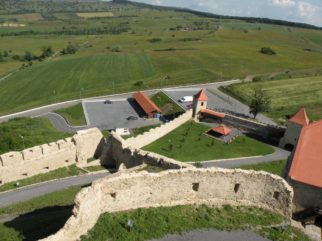
- 00-3.00 visit of Rupea castle built up on a huge debris-avalanche block, dated at 6.8 Ma and box lunch;
- 30-5.00 PM: visiting quarries in the Perșani alkali basaltic monogenetic volcanic field on the Bogata valley;
- 00-7.00 PM: Bogata Valley-Băile Tușnad;
- 00-7.30 PM: check in O’Zone Hotel, Băile Tușnad;
- 00-9.00 PM: Welcome speech and dinner (O’Zone Hotel, Băile Tușnad).
Day 2 (October 9th): field-trip in the South Harghita Mts. visiting Ciomadul volcano and its environs
- 00-8.30 AM: breakfast (O’Zone Hotel, Băile Tușnad);
- 30-10.00 AM: introduction to the Călimani-Gurghiu-Harghita volcanic range; (Conference room in the O’Zone Hotel, Băile Tușnad);
- 00-10.45AM: travel Băile Tușnad- Ciomadul craters saddle (stop 2.1);
- 45-11.00AM: short introduction on Ciomadul volcano;
- 00-12.15AM: visit at the N-Mohoș swamp outcrop with explosive products of both Mohoș (phreatomagmatic) and Sf. Ana craters (plinian) (stop 2.2)– 20’ + 20’ easy walk + 35’ site visit and discussions;
- 15-1.15 PM: visit the Sf. Ana crater including an easy walk around the crater lake (stop 2.3);
- 15-2.00 PM: stop at the Köves Ponk dome viewing point, discussing its age and box lunch (stop 2.4);
- 00-3.30 PM: visiting spectacular post-volcanic features at Balvanyos (stop 2.5);
- 30-4.30: travel to, and visiting a road-side outcrop on the way back from Balvanyos to Băile Tușnad (debris flow and pyroclastic flow deposits of Ciomadul volcano (stop 2.6);
- 30-6.30 PM: Travel to Băile Homorod via Băile Tușnad and Miercurea Ciuc (ca. 90 km);
- 30-7.00 PM: check in Lobogó Panzió, Băile Homorod;
- 30-8.30 PM: dinner.
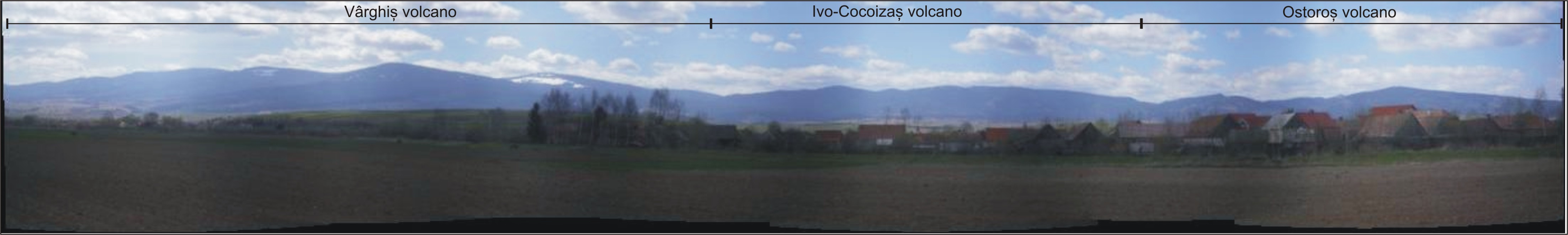
Day 3 (October 10th): field-trip in the North Harghita Mts. – with focus on Vârghiș volcano – and southern Gurghiu Mts.
- 00-8.30 AM: breakfast (Lobogó Panzió, Băile Homorod);
- 30-9.45 AM: travel and visit pre-debris-avalanche lavas (ca 5.4 Ma) along the Vârghiș valley at Selters active quarry (partly on poor quality dirty road) (stop 3.1);
- 45-10.15: stop at Căpâlnița viewing point with a panoramic view on the Vârghiș volcano as seen from the SW(stop 3.2);
- 15- 11.00 AM: travel Căpâlnița – Brădești – Ivo valley outcrop;
- 00-11.30 AM: visit Ivo valley outcrop in block-and-ash-flow deposits of the Vârghiș volcano (stop 3.3);
- 30-12.15 AM: travel to the Harghita Mădăraș ski resort area;
- 15AM-1.30 PM: panoramic view on the sector-collapse depression of the Vârghiș volcano; outcrop of pre-collapse lavas (stop 3.4); box lunch (alternative);
- 30-2.00 PM: travel to the Zetea dam; box lunch (alternative);
- 00-2.30: visiting outcrops of debris avalanche deposits at the Zetea dam; walking across the dam with panoramic view on the Southern part of the Gurghiu Mts. (stop 3.5);
- 30-3.15 PM: travel to the Liban Pass and visiting a quarry with lavas of the Ostoroș volcano (stop 3.6);
- 15- 4.00 PM: travel to and visiting the Chilieni quarry with panoramic view on the northernmost Harghita volcanoes, on the Gheorgheni Basin and on the fold-and-thrust belt of the East Carpathians (stop 3.7);
- 00-4.20: travel toward Bucin Pass: stop at a point between Joseni and Borzont villages with panoramic view on the Gurghiu Mts. (stop 3.8);
- 20-4.50: travel to and visiting a small quarry (before Bucin Pass) in Seaca-Tătarca lavas (stop 3.9);
- 50-7.15 PM: travel to Reghin via Bucin Pass, Praid, Sovata;
- 15-7.40: check-in Marion hotel in Reghin;
- 00-9.00 PM; dinner (Marion hotel, Reghin).
Day 4 (October 11th): Scientific session (Marion hotel, Reghin)
- 00-8.30 AM: Breakfast (Marion hotel, Reghin);
- 00-10.00 AM: Formal registration of participants;
- 00-13.00 AM: Invited talks;
- 00-2.00 PM: Lunch;
- 00-6.00 PM: Offered talks and Poster session;
- 00-7.00 PM: Discussions;
- 00-8.00 PM: Dinner.
Day 5 (October 12): field-trip along the Mureș gorges with focus on interfingering volcaniclastic sequences originating from Călimani and Gurghiu volcanic centers
- 30-8.00 AM: Breakfast (Marion hotel, Reghin);
- 15-9.45 AM: travel From Reghin to the Toplița ski resort area;
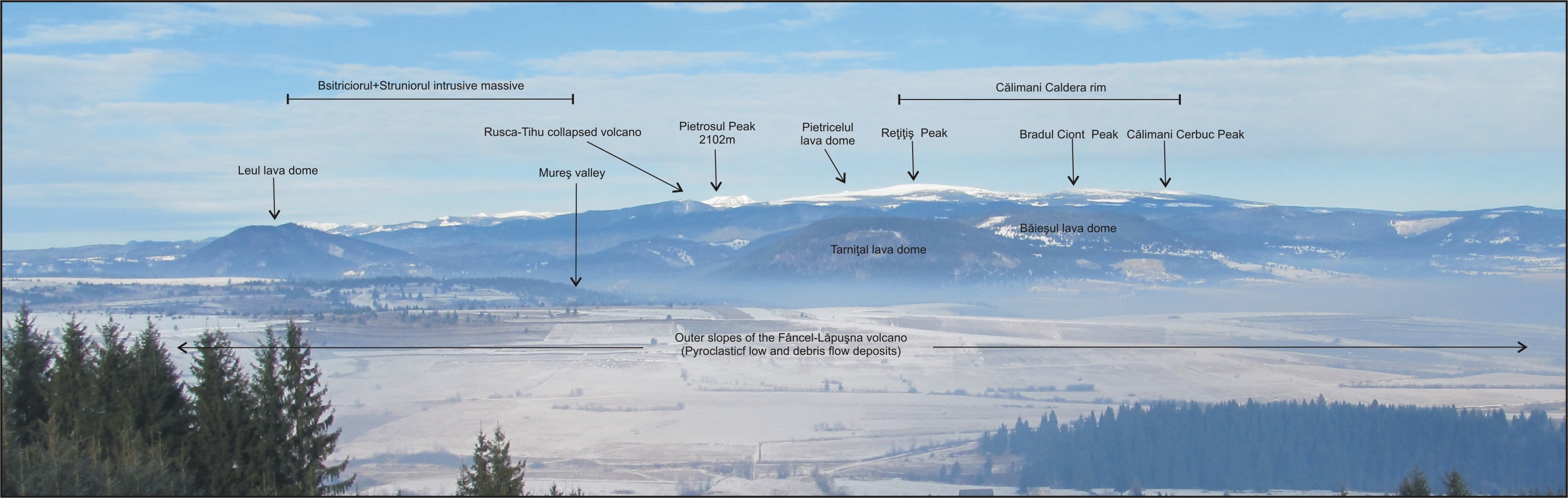
- 45-10.45 AM: panoramic view on the Călimani Mts. (as seen from the South) and on the northernmost occurrence areas of the Fâncel-Lăpușna (Gurghiu Mts.) volcaniclastic deposits; short explanation of the features seen from the viewing point (stop 4.1);
- 45-11.15 AM: Visiting outcrop of Sărmaș basalts in contact with post-debris avalanche Calimani volcaniclastic deposits (stop 4.2);
- 15- 12.30 AM: travel to and visiting outcrops of reworked products of the Fâncel-Lăpușna formation (Gurghiu Mts.) near Toplița (stop 4.3);
- 30 -12.45 AM: travel to Ciobotani;
- 45 AM – 1.15 PM: visit of outcrop exposing debris flow deposits of the Fâncel-Lăpușna formation (Observation: direct access to the outcrop is a bit difficult) (stop 4.4);
- 15-2.00 PM: travel to Lunca Bradului bridge (across Mures valley);
- 00-2.30 PM: Visiting outcrop of primary Fâncel-Lăpușna block-and-ash-flow deposits at the Lunca Bradului bridge (stop 4.5);
- 30-3.30 PM: travel to Sălard (5’), box lunch and viewing outcrops in a thick sequence of Rusca-Tihu basaltic andesite block-and-ash-flow deposits (stop 4.6);
- 30- 6.30 PM: travel to the Răstolița dam and visiting a thick sequence of outcropping post-debris-avalanche Rusca-Tihu formation volcaniclastics and lavas (stop 4.7);
- 30-7.00 PM: travel to the next outcrop (Răstolița, road branching to Iod);
- 00-7.20: short visit of an outcrop with debris avalanche deposit of Rusca-Tihu volcano at Răstolița (Iod road branch) (stop 4.8);
- 20-8.00 PM: travel to Reghin;
- 30-9.15 PM: dinner (Marion hotel, Reghin).
Day 6 (October 13th): fieldtrip in the Northern Călimani Mts. and Bârgău Mts. area (AM) and final informal discussions (PM)
- 00-8.30 AM: Breakfast (Marion hotel, Reghin);
- 45-11.00 AM: Travel to Colibița dam via Bistrița-Prundu Bârgăului
- 00- 11.45 AM: visiting outcrops of Rusca-Tihu debris avalanche deposits near the Colibița dam (stop 5.1);
- 45-12.05 AM: travel to the “great sill” quarry at Colibița;
- 05-12.45 AM: visiting the “great sill” at the Colibița quarry (stop 5.2);
- 45 AM-1.15 PM: travel to the Mureșenii Bârgăului (village exit) sills on the main Bistrița-Vatra Dornei road;
- 15-2.00 PM: visiting roadside outcrops of pre-volcanic sills intruded in flysch deposits; box lunch (stop 5.3);
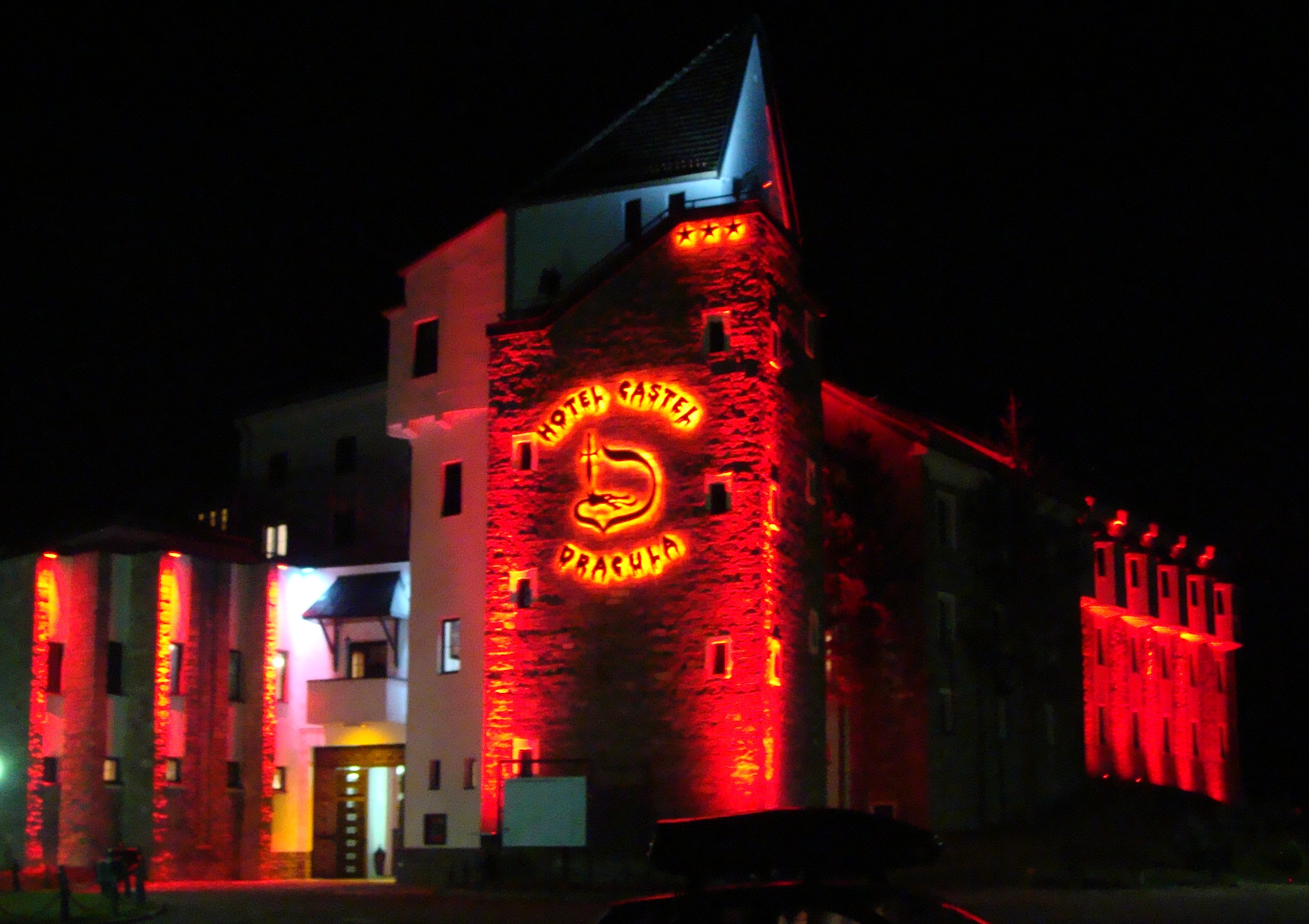
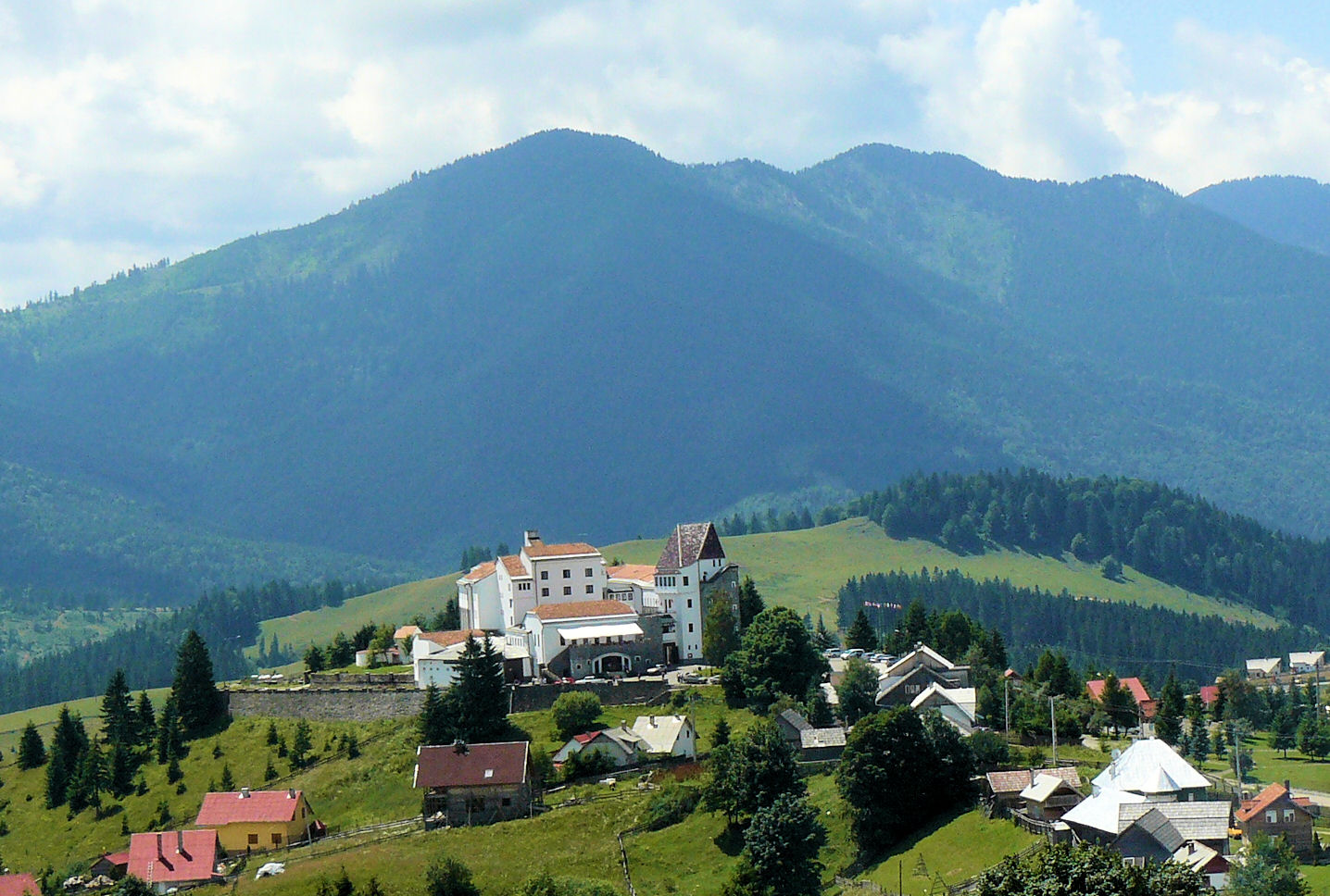
- 00-2.45 PM: travel to Tihuța Pass and viewing the beautiful landscape of the “Subvolcanic zone” of Bârgău and Țibleș Mts.; arrival to the Dracula Castle Hotel;
- 45-3.15 PM: check-in Dracula Castle Hotel;
- 00- 7.00 PM: informal round-table discussions on the future activities of the IAVCEI Commission on Volcano Geology; proposals for the next VG Workshop;
- 00-11.00 PM: farewell dinner with “Dracula show”.
Day 7 (October 14th): Departure
- 00-7.30 AM: breakfast (Dracula Castle Hotel)
- 30AM-5.30/6.30 PM: travel to Bucharest Otopeni Airport (ca. 10-11 hours drive by bus depending on traffic and weather)
- 00-12.00/12.30 AM: travel to Cluj-Napoca Airport (ca. 4-4.5 hours drive by car)
Photo Gallery
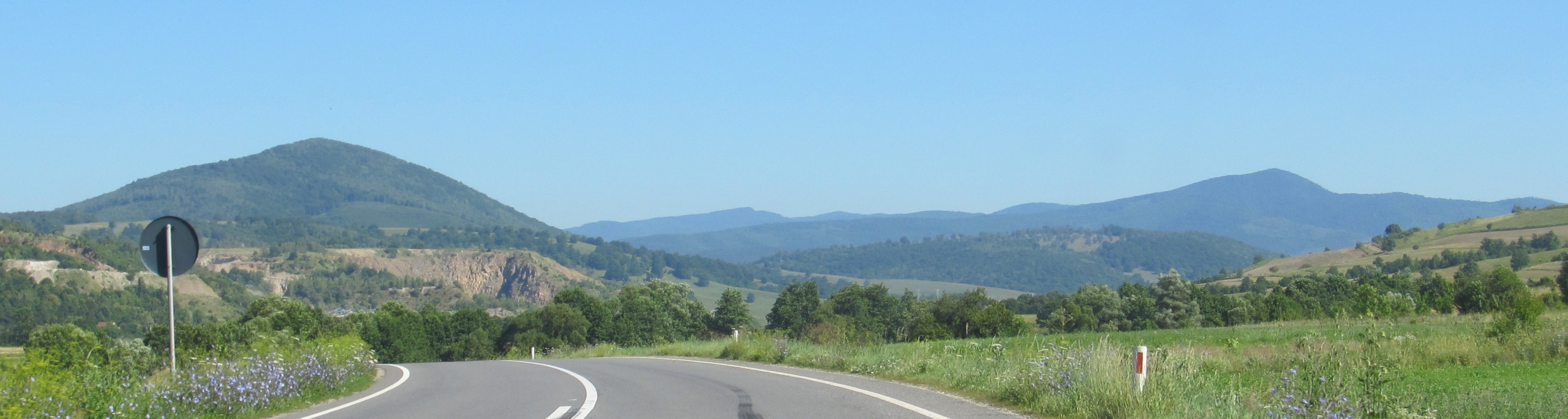
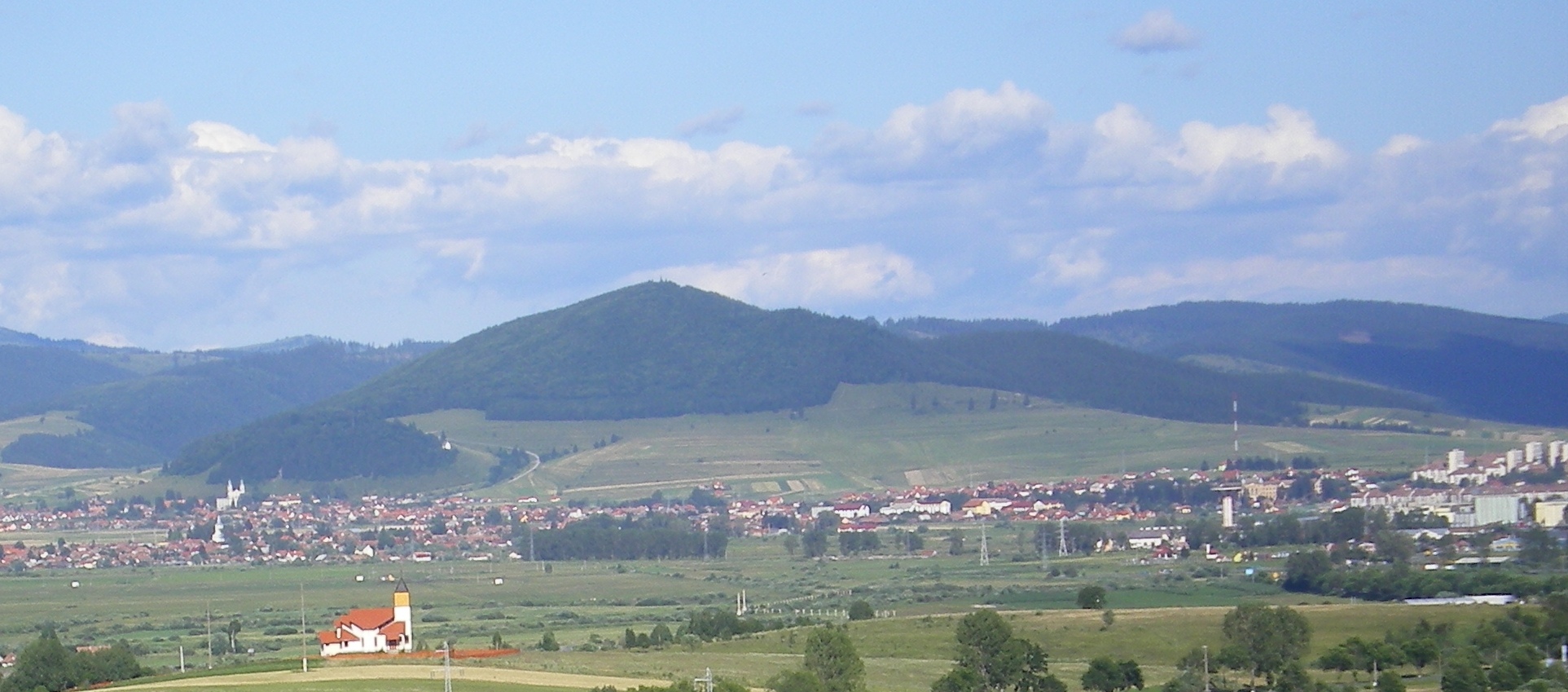
South Harghita Mountains
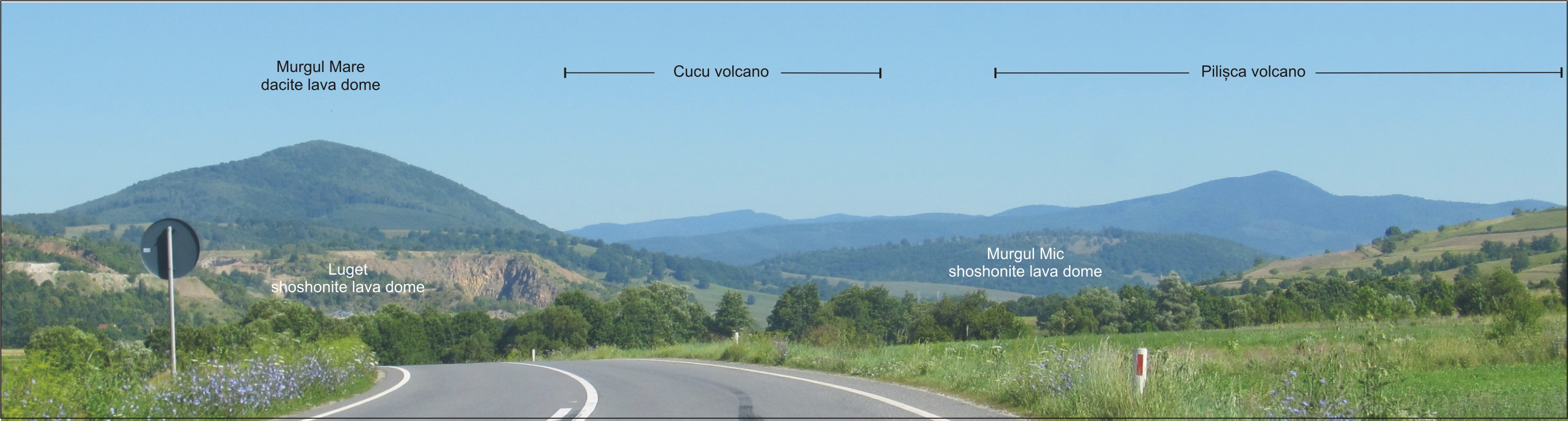
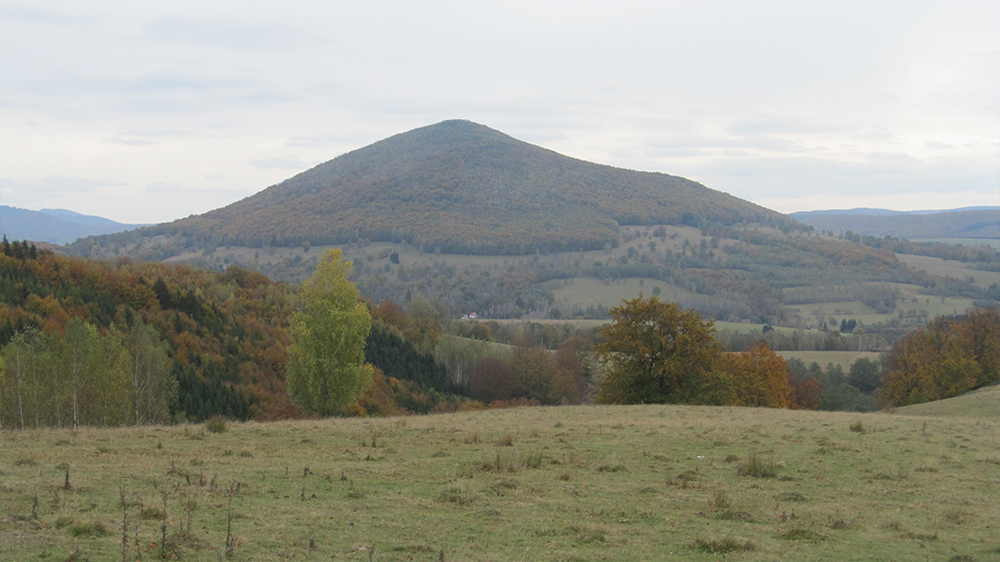
Cucu Volcano
Ciomadul volcano
Murgul Mare Dacite lava dome
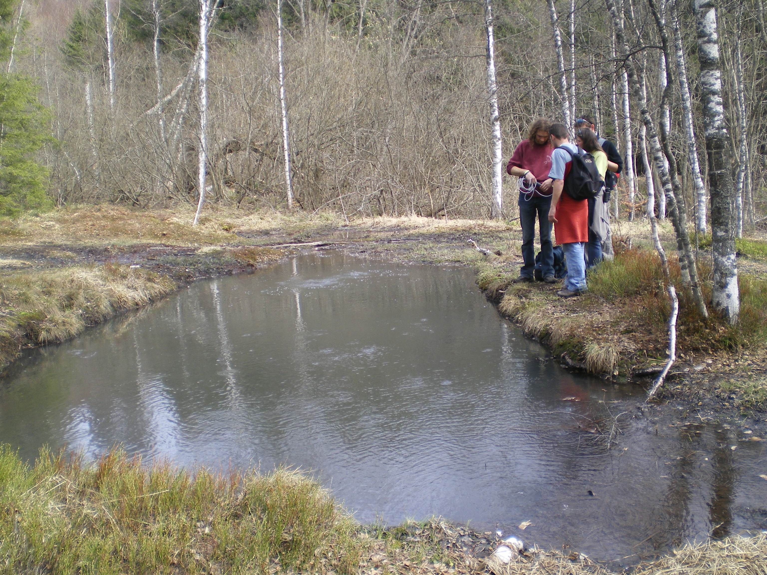
Buffogó bubbling pool
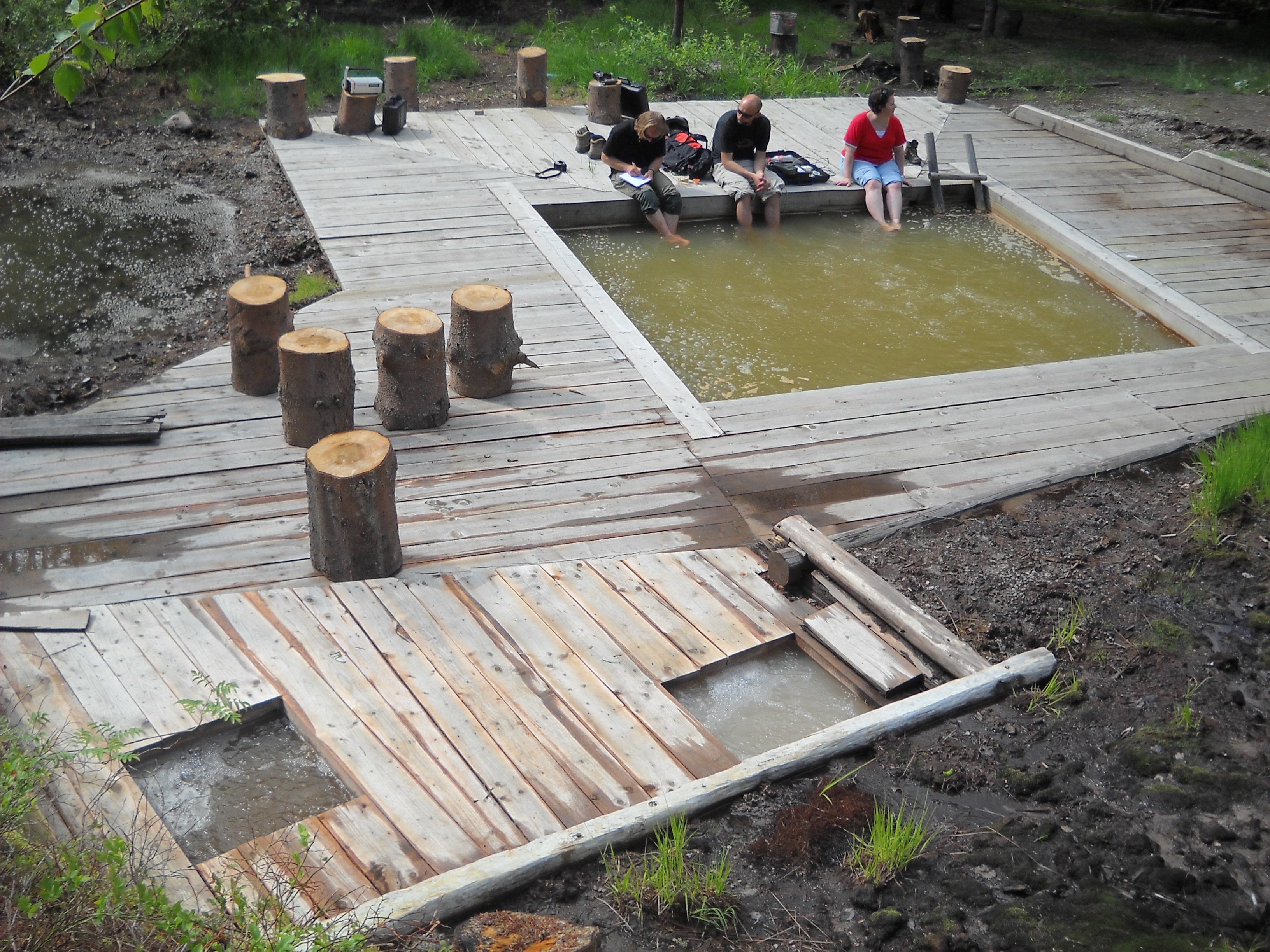
Tiszás bubbling pools
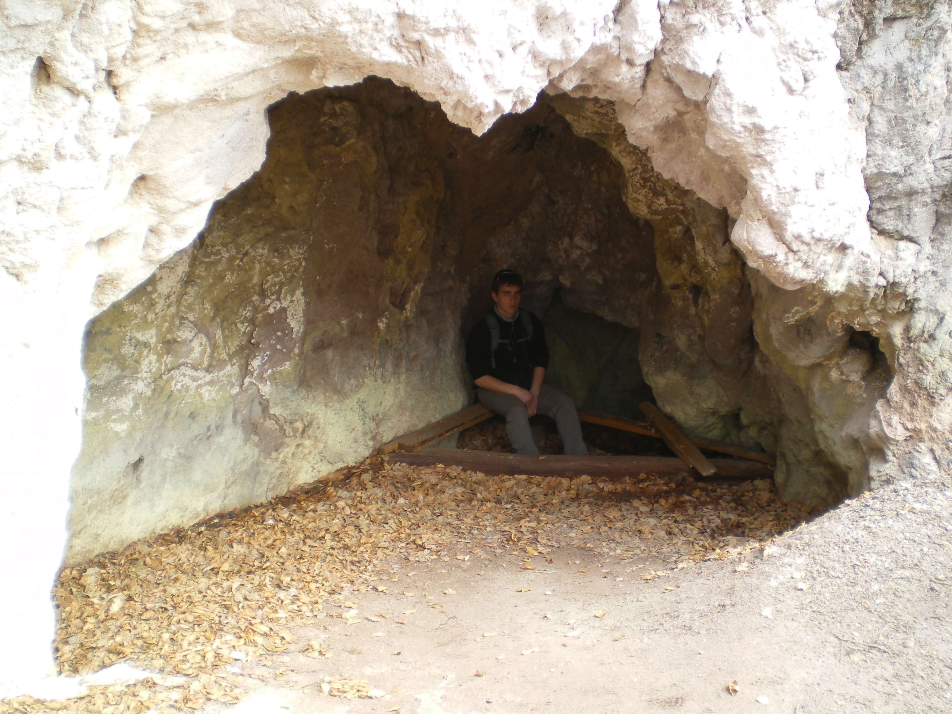
Puturosu mofetta cave
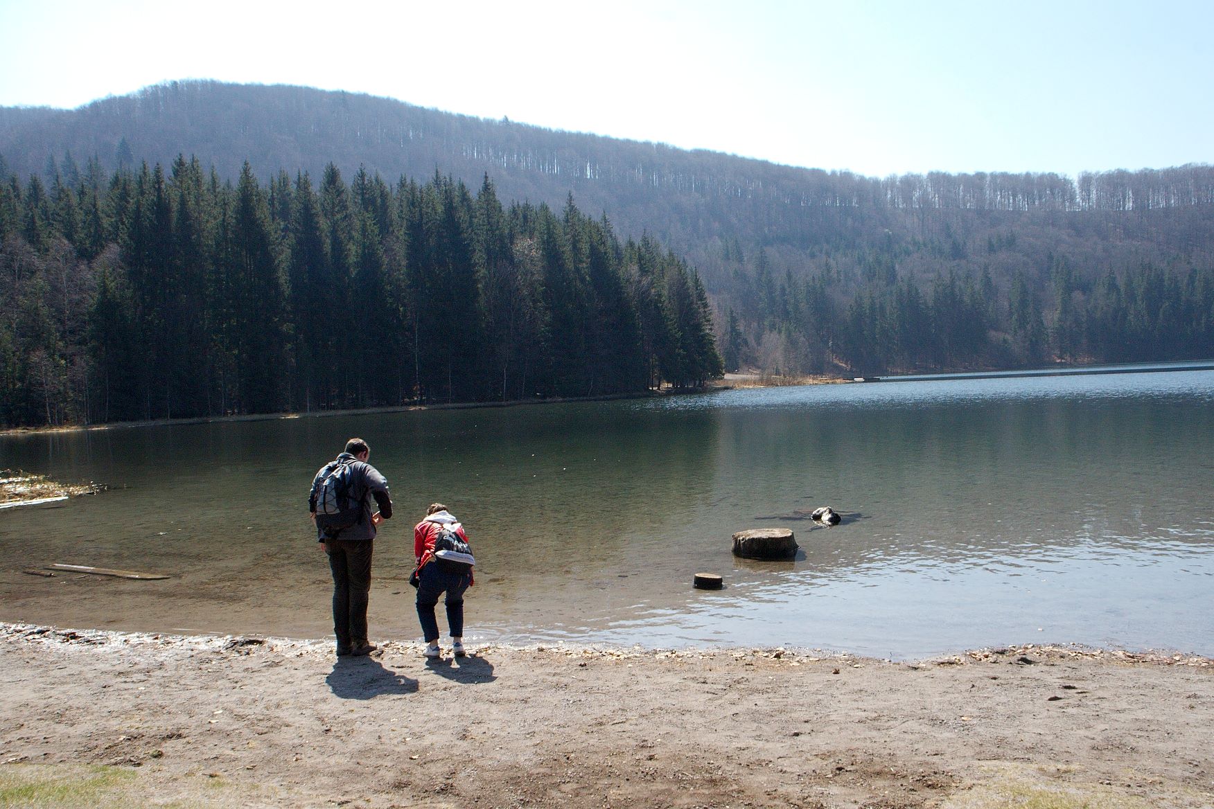
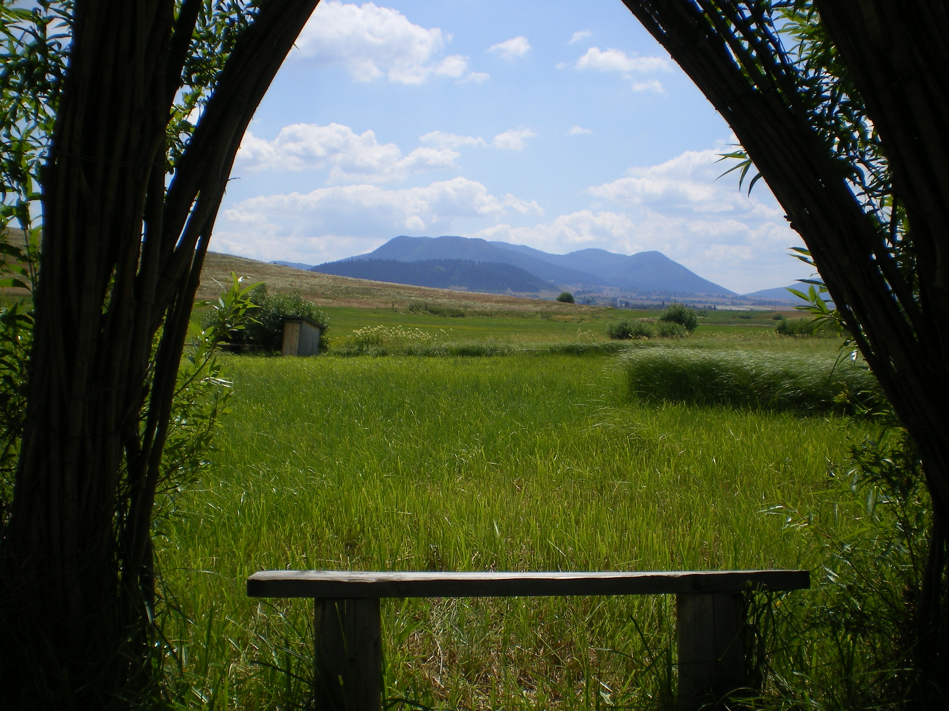
St. Ana crater lake
Mineral Water Museum – Tusnad
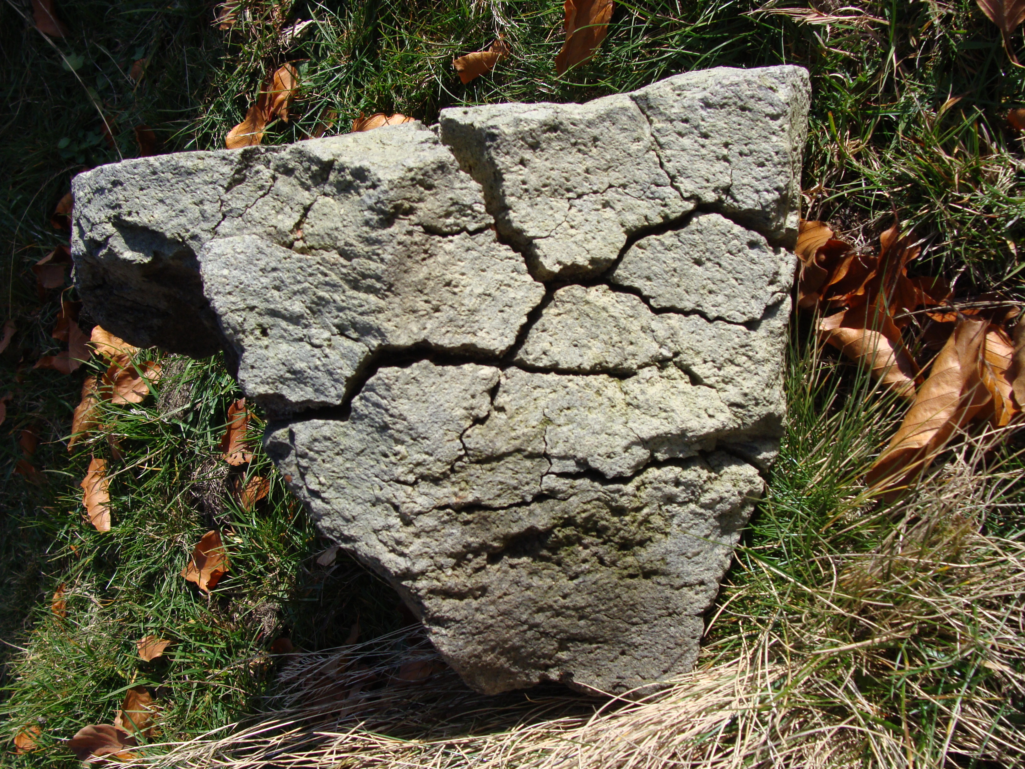
Breadcrust block
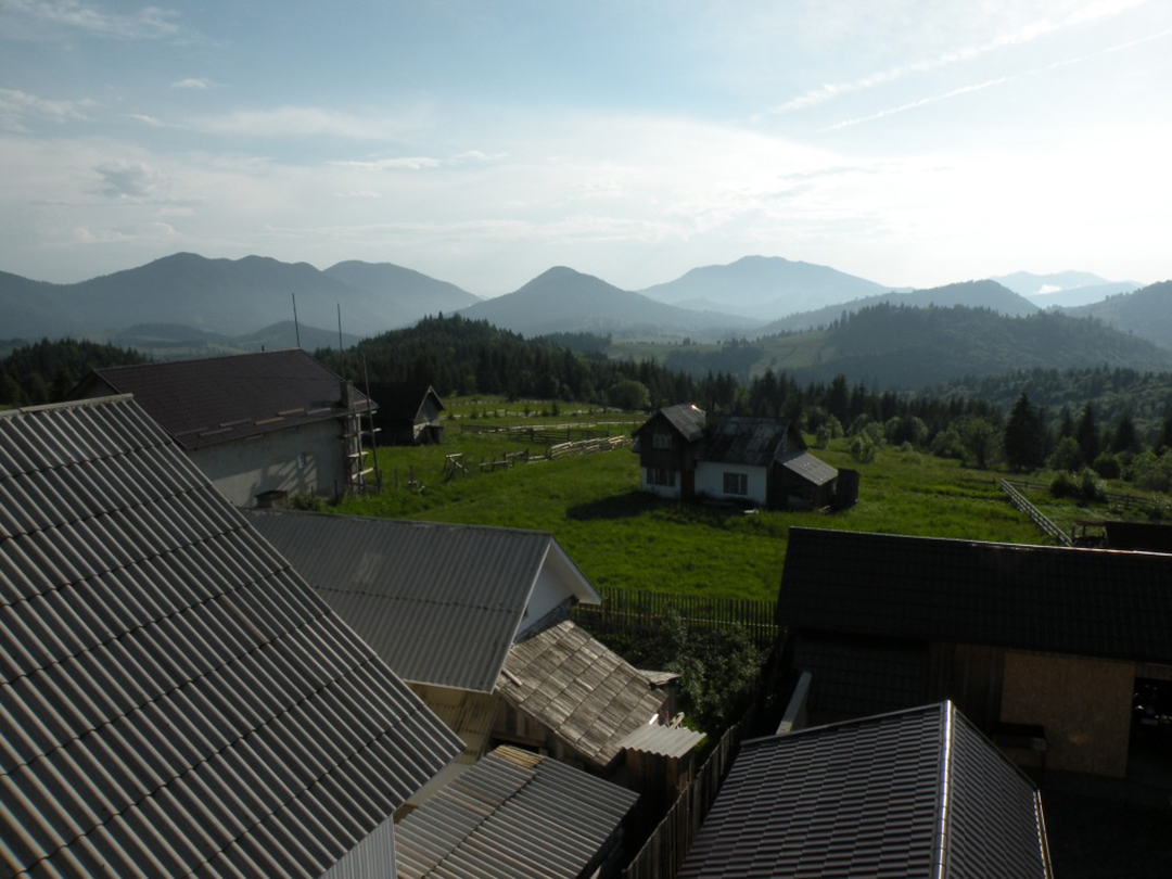
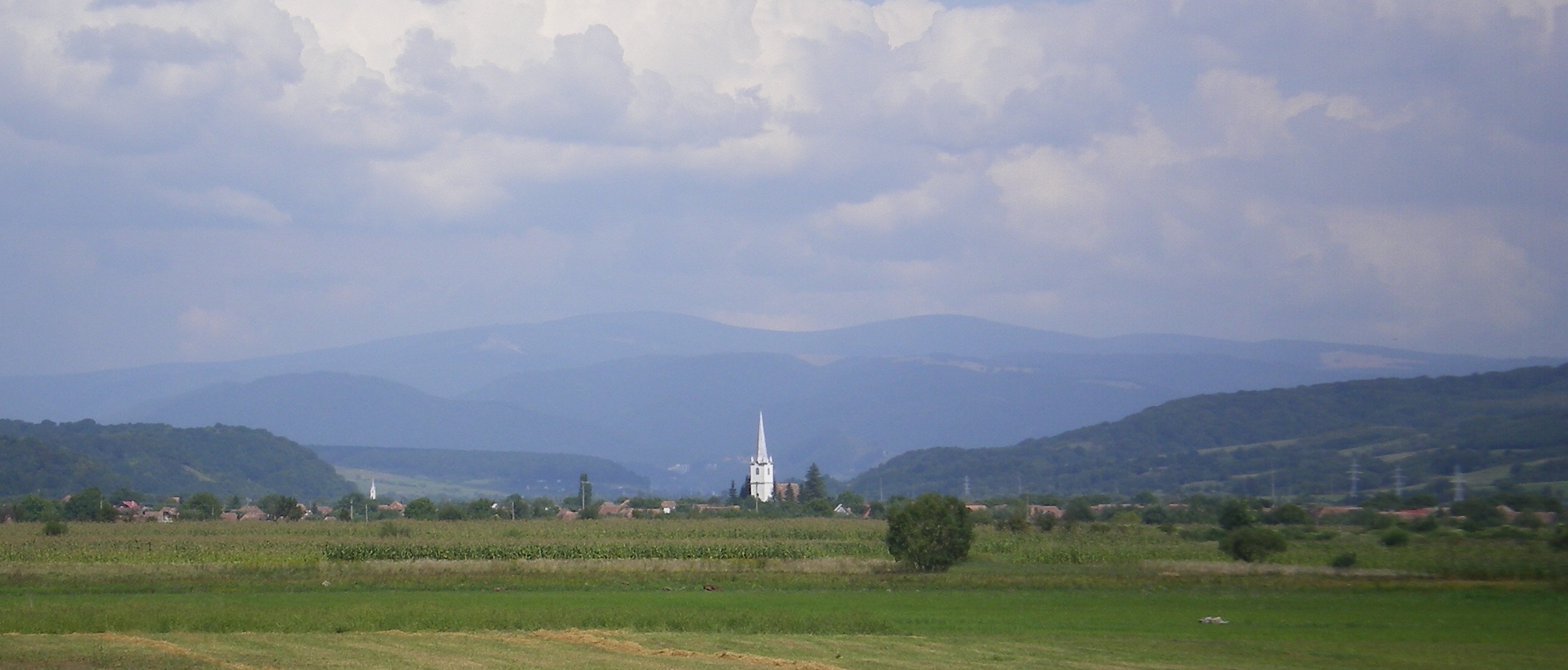
North Harghita Mountains
Sumuleu Ciuc dacite lava dome
Varghis Volcano from East
Interior of the Varghis debris avalanche depression
Gurghiu Mountains
Fâncel-Lăpușna volcano (seen from the East)
Seaca-Tătarca volcano (seen from the South-West)
Block and ash flow deposit
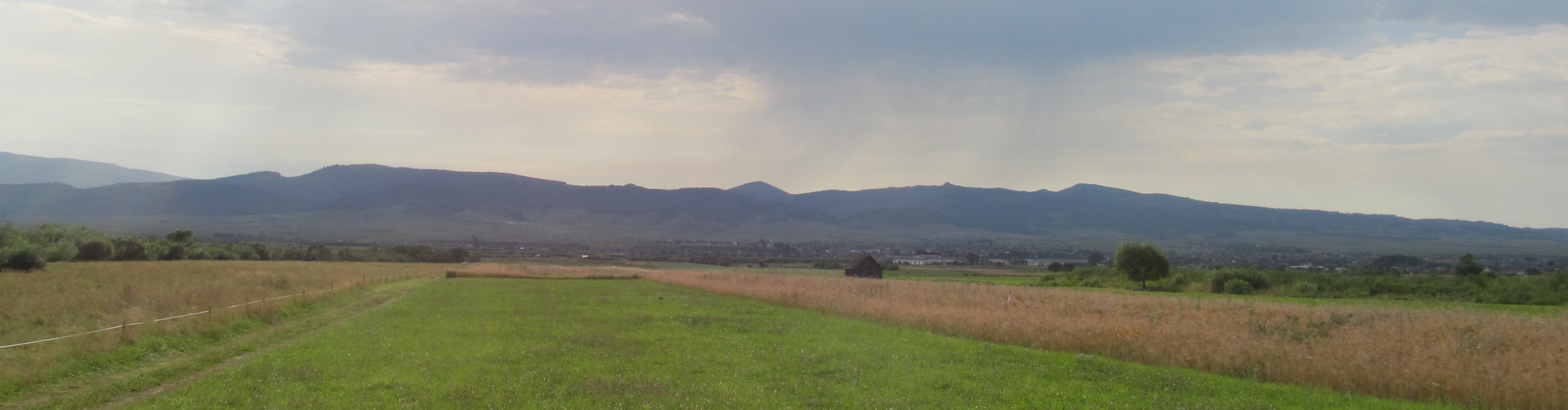
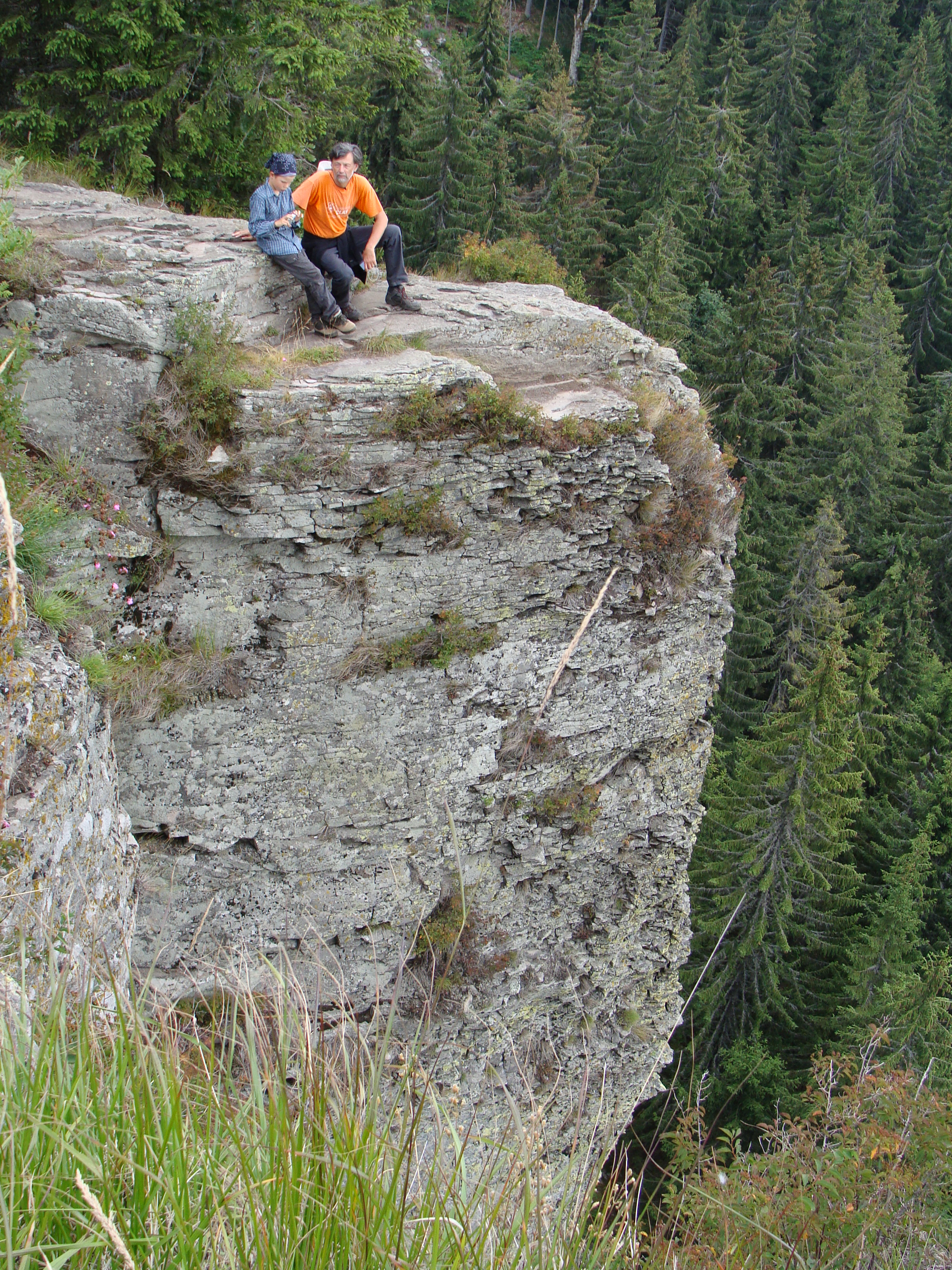
Calimani Mountains
Călimani Mts. (seen from the South)
Headquarters of the Călimani National Park
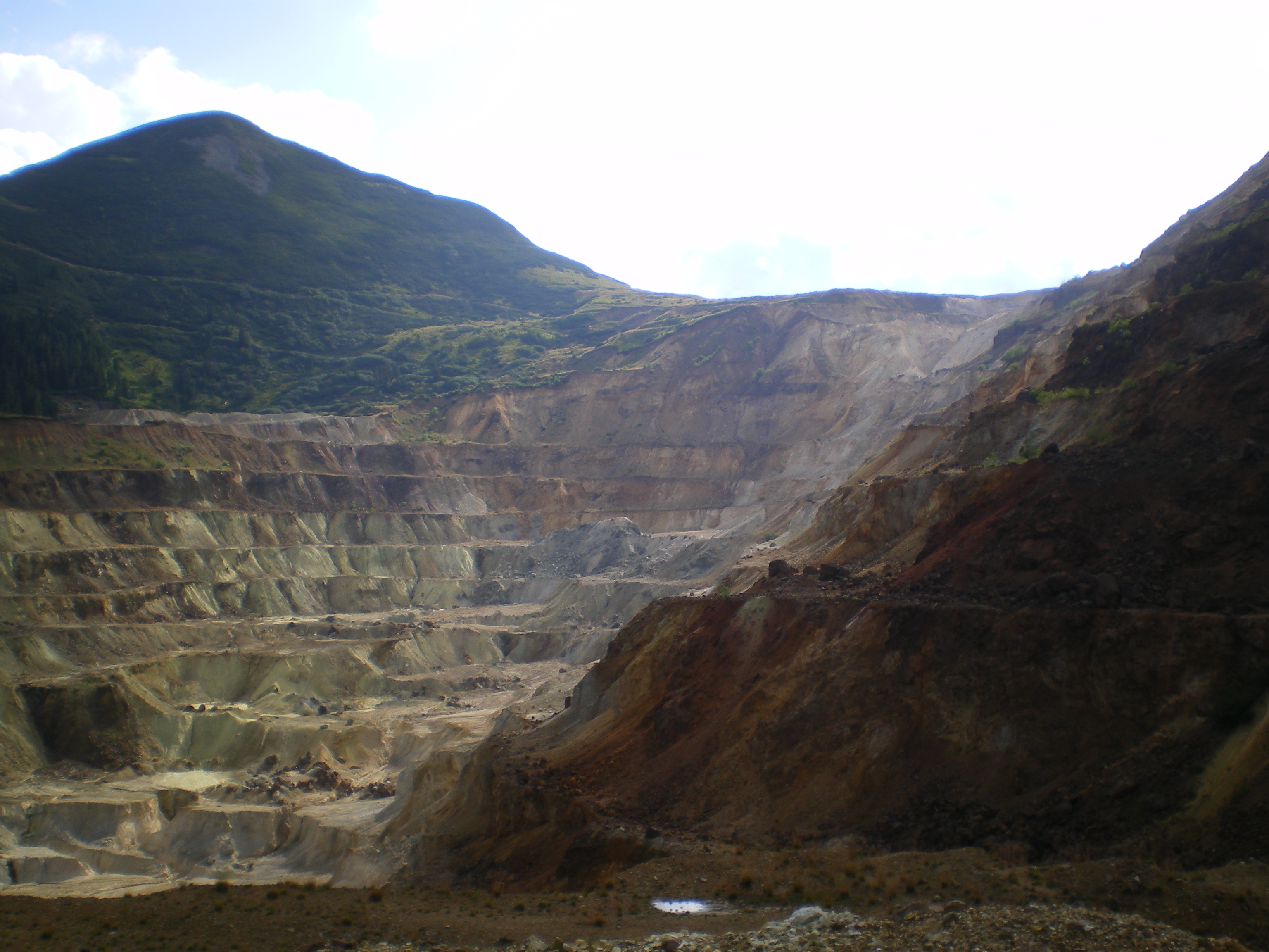
Negoiul Romanesc sulfur quarry
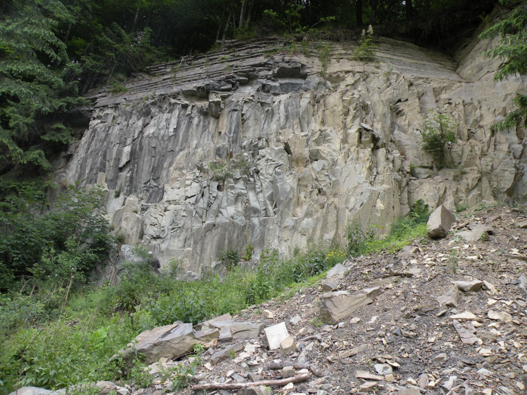
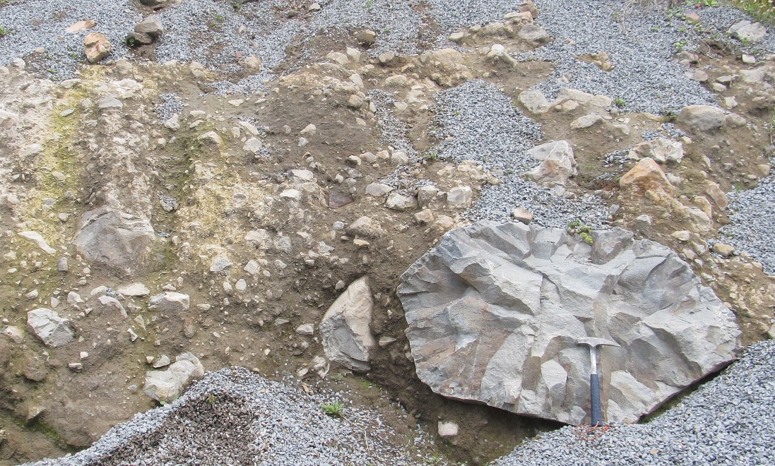
Platty-jointed andesite lava cliff at the Scaunul Peak (southern Călimani Mts.)
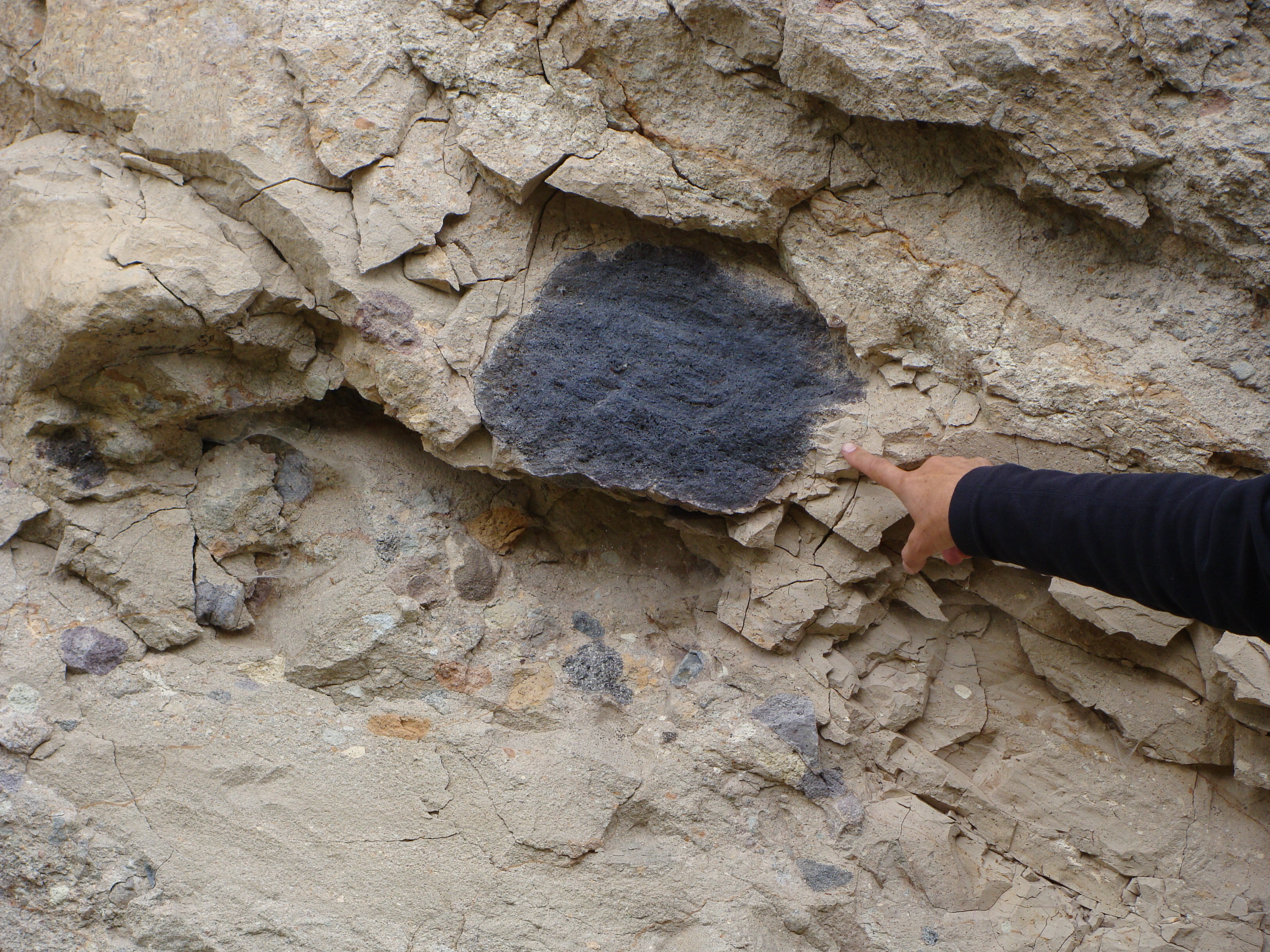
Juvenile clast in phreatomagmatic deposit Rastolia dam
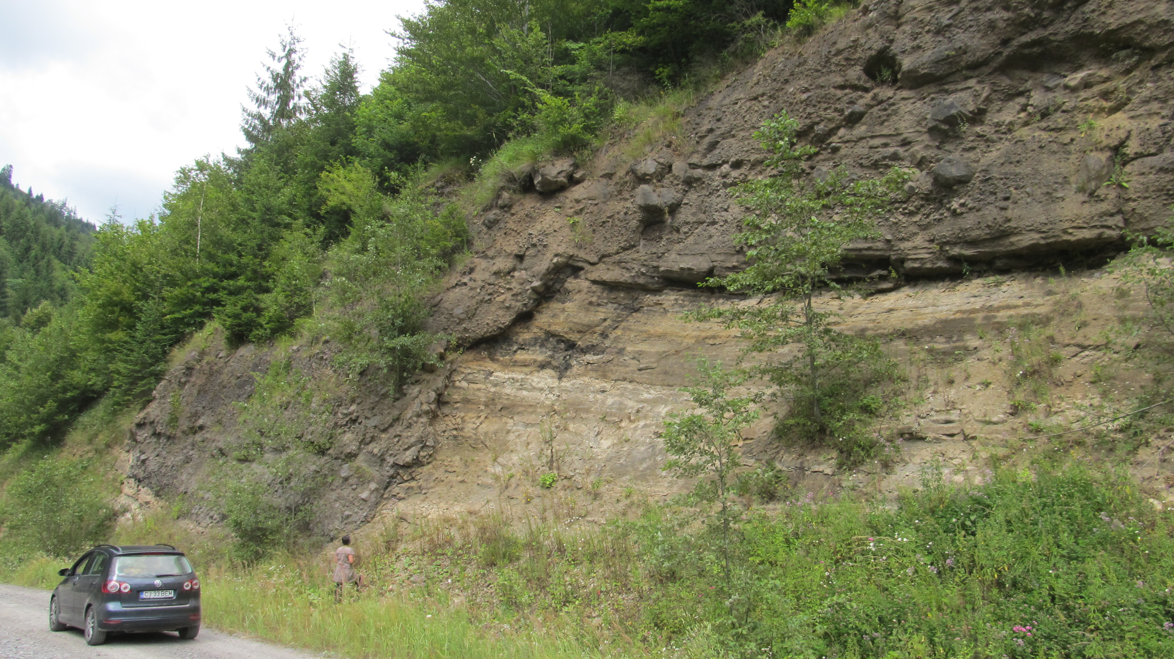
Local unconformity in volcaniclastic deposits – Rastolita dam
Dracula Castle Hotel
Dracula Castle Hotel
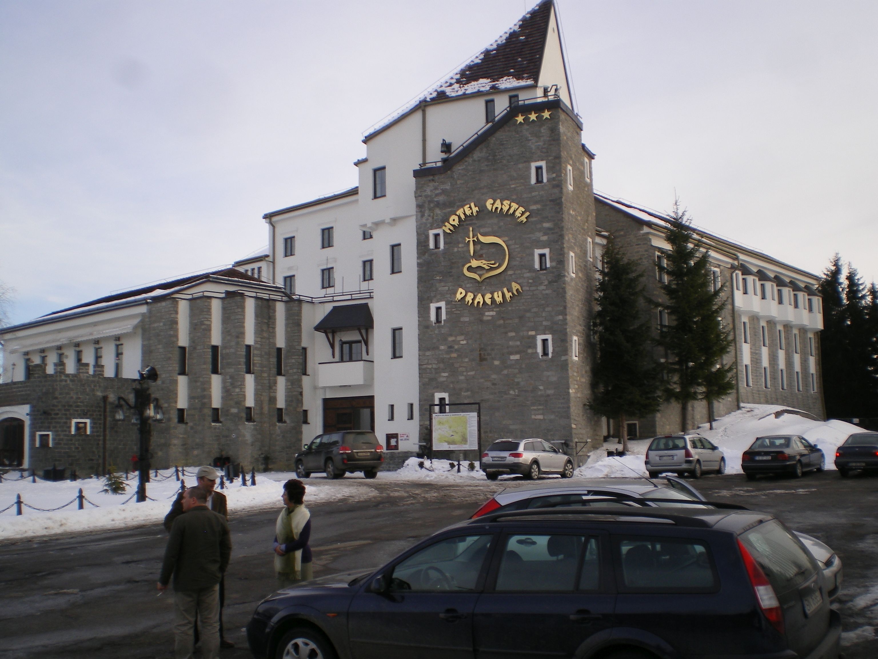
Dracula Castle Hotel
Dracula Castle Hotel
Contacts:
The participants are kindly asked to fill-in the Registration form or send all the relevant information to the Contact address.
Ioan Seghedi
– e-mail: seghedi@geodin.ro
– phone: +40-744-333862
Alexandru Szakács
– e-mail: szakacs@sapientia.ro, szakacs@k.ro
– phone: +40-741-534405
Mădălina Visan
– e-mail: danamadalina@yahoo.com